
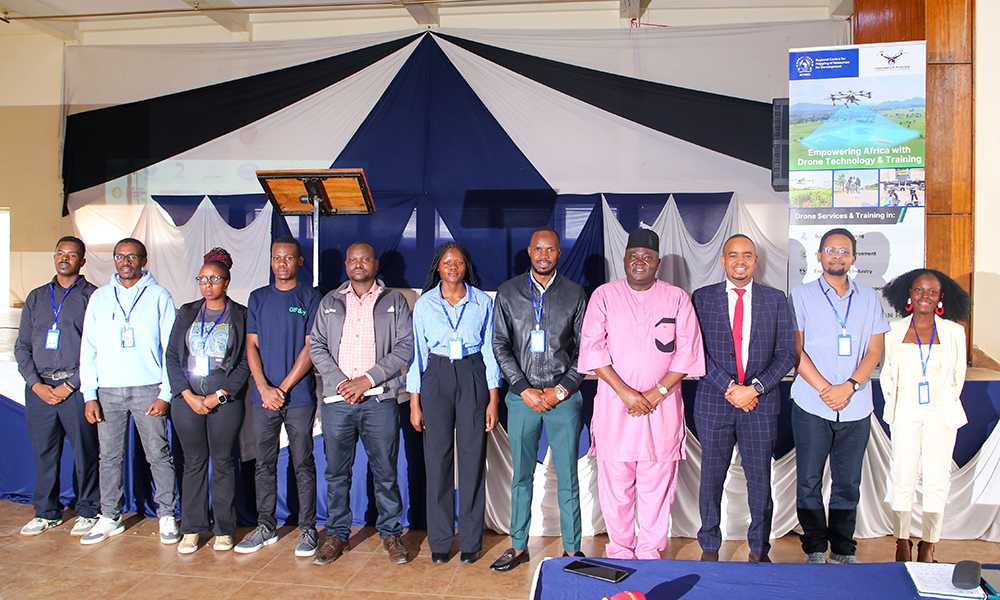
On 13th November 2026, Technical University of Kenya (TU-K) celebrated Geographic Information Systems (GIS) event dubbed “Powering Purpose and Innovation.”
The annual event was organised by the Geospatial Sciences Students Association (GSSA) and the KUZA Clubs.
The Deputy Vice-Chancellor in charge of Academic and Student Affairs (ASA) Prof. Maurice Amutabi, thanked sponsors of the event. He commended KUZA club President Dr. Ronney Ochieng and his team for organising an event of such magnitude.
The DVC noted that the University enjoys mutual collaborations and partnerships with various stakeholders. He underscored TU-K’s commitment in nurturing and supporting talents as well as academic programs.
“On behalf of the University Management, I would like to thank the sponsors. An event of this magnitude means a lot to students, they get more knowledge and feel inspired as well as network with the industry players.”
Prof. Amutabi noted that the event recognises the growing power of spatial thinking in the world and that GIS is no longer limited to specialists. “It elevates you above the rest. Remember in the world today, the more knowledge you have, the more the chances of employability.”
The keynote address was delivered by Dr. Kenneth Mubea, Capacity Development Lead at Digital Earth Africa (DE Africa). His presentation titled, Digital Earth Africa: Innovations in Earth Observation, focused on the role of earth observation technologies, satellite data and geospatial intelligence in addressing Africa's development challenges.
The presentation highlighted Digital Earth Africa as a continental initiative providing accessible Earth Observation data, analytical tools and services to support evidence-based decision-making. He demonstrated how satellite-derived information can be applied in various sectors, including: Agriculture and food security through crop monitoring and assessment, water resource management and flood monitoring, Environmental conservation and forest change detection, Urbanisation monitoring and sustainable urban planning, Coastal monitoring and assessment of shoreline changes, Climate change analysis and land degradation monitoring.
Dr. Mubea emphasised on the importance of leveraging Earth Observation innovations to advance sustainable development, strengthen climate resilience and unlock opportunities for Africa's technological growth.
Various guests attended the event among them, the Institution of Surveyors of Kenya CEO Mr. Peter Kibet Arap Biwott.
This year’s event sponsors and partners were; The Institution of Surveyors of Kenya (ISK), Digireg Ltd, Esri Eastern Africa, Orion Terrameterics Africa Ltd, Planet PBC, Geiod Technologies Ltd, Oakar Services Ltd and Regional Center for Mapping of Resources for Development.